Friends have asked me about process in finding historical imagery about a site. Especially for studying historic changes in shorelines, land use, and other features, it’s very useful to look for mid-20th century imagery and maps. While North American and European countries offer up extensive online tools for downloading digital orthoquads, topos, etc., it’s much more difficult in formerly colonized parts of the Global South! Thus researchers have to rely, when possible, on imagery produced either by colonial powers or, esp. in Asia before 1945, by the U.S. military. This demo explores imagery for one study site, Waigeo Island off the northwest coast of West Papua (Irian Jaya).
The first place to go, especially if you want to compare features over large areas, is the incredible collection of declassified, American spy satellite photographs with the top-secret Corona or Keyhole Program. USGS maintains a searchable index on its Earth Explorer platform.
Corona Images of Waigeo
I did some research and the results were no good – all those stereo images, but everything’s covered in clouds! Those were the breaks before infrared scanners. Spies thwarted by clouds!
Searching your site on this platform requires selecting a polygon and then selecting “data sets”. Here you can see the polygon around Waigeo and then the “footprints” of resulting “keyhole” photos, stereo pairs, medium res, on November 13, 1966. The “F” and “A” in each photograph’s code means “fore” and “aft” cameras. If these images were not blanked out by clouds, then one could download these and assemble 3-d pairs. The little thumbnail of each image shows that these frames are totally white, so no use.
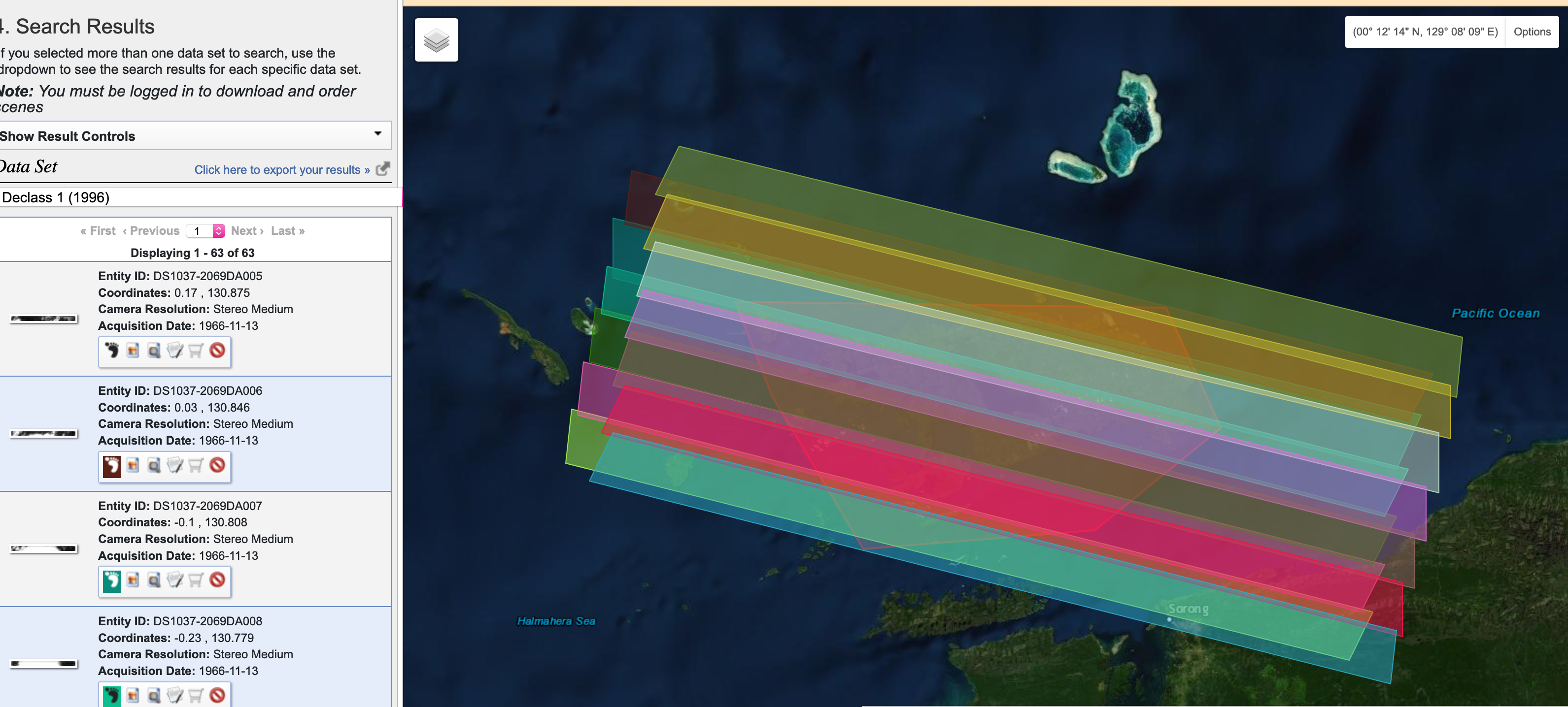
Also, the little icon of the red circle with a slash means the frame isn’t already digitized and downloadable. This means, if the frame was clear and gorgeous, you’d have to click the little shopping cart and BUY it at $30/frame. IF these were clear frames, then you’d be spending $360 to get 12 frames for building stereo pairs of the whole island for Nov 13, 1966.
Sadly, at least for us, it was a cloudy day on Waigeo on Nov 13th, 1966 so whatever was happening that day on the ground is lost.
But this isn’t it. For this region, I know that the final year of Allied military campaigns in the “southwest pacific theater” brought bomber squadrons to Papua, so I’m going to shift gears and look for Army Air Force images.
Researching WW2 historic imagery requires a little bit of knowledge about the ways state governments and militaries organized their air photography…but with a little bit of luck…and some good old fashioned word searches…we might find some imagery.
US Army Air Force Photography
The historic collection of American air photos, including original celluloid roles of 9-“ wide film, is catalogued in Record Group 373 – Defense Intelligence Agency. Yep, you need to go down the rabbit hole of mid-20th century American military spying! (cue the music!)
During WW2 the operation was analogue but highly sophisticated, and in the 1950s it mushroomed into a huge effort to spy on everyone and photograph the entire Earth! One org, the National Photographic Interpretation Center, NPIC, launched under Kennedy in 1961 had an army of photogrammetrists, photo interpreters, and “intel” people pouring over photos like these and the Corona ones to document what everyone else was doing. Since the 1980s, most everything moved to digital scanners in space, think Landsat and secret military satellites. So these collections – film-based, archived – are really special, a 1930s-1970s time capsule compared to the flood of digital information since.
I first googled “army air force photography papua” and my first link turned me here, to this unexpected source at Library of Congress:

What I get from this is that the Army was busy studying key airfields on the northern coast of Papua, they even drew up pretty topographic maps (derived from air photos) in the Army Corps of Engineers standard way (also interesting, this history of Army Corps styles and conventions, line widths, symbols).
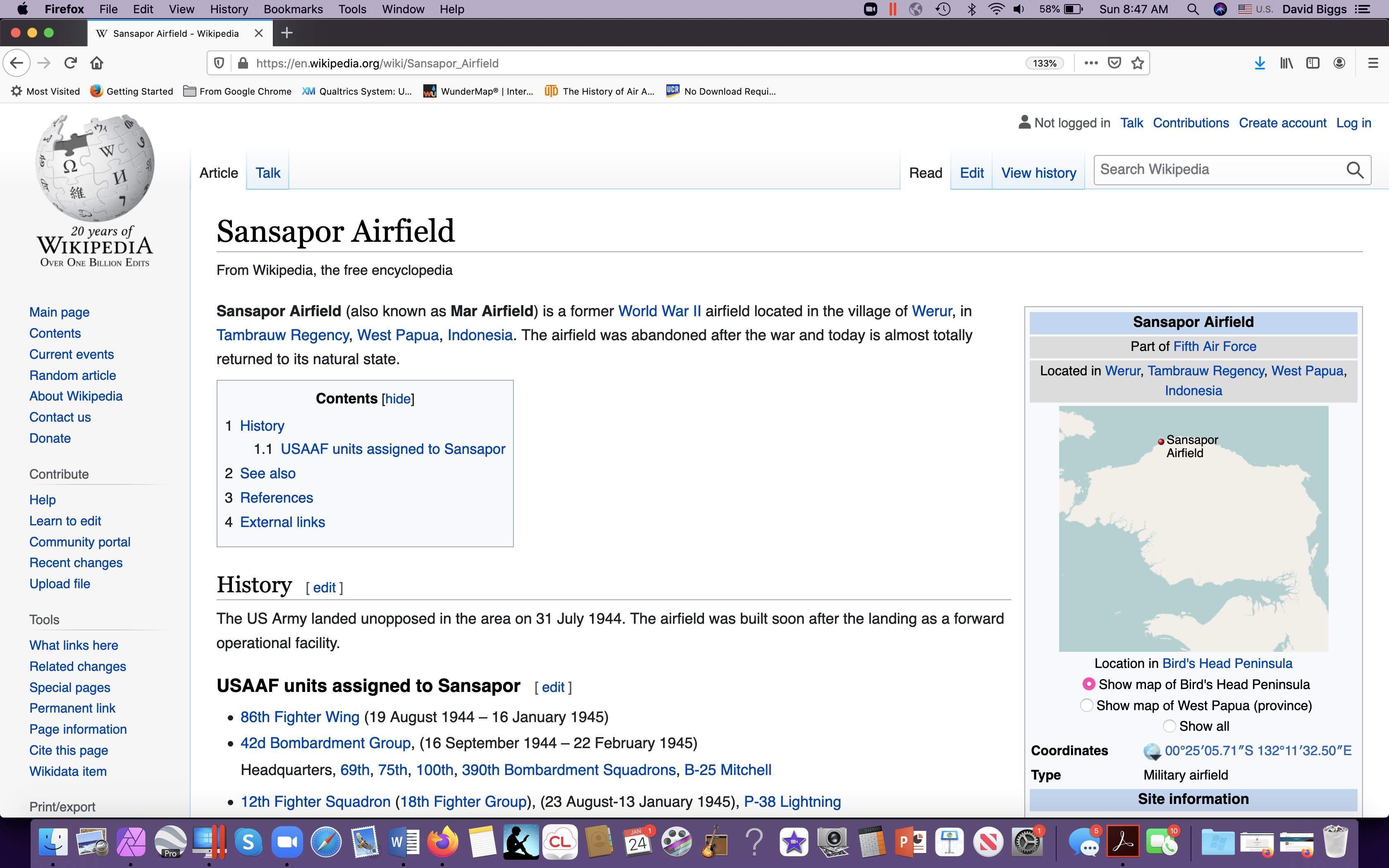
Nothing specific to Waigeo but some nice descriptive material about an aerodrome just to the southeast of it. So, a trip to Wikipedia, for more…
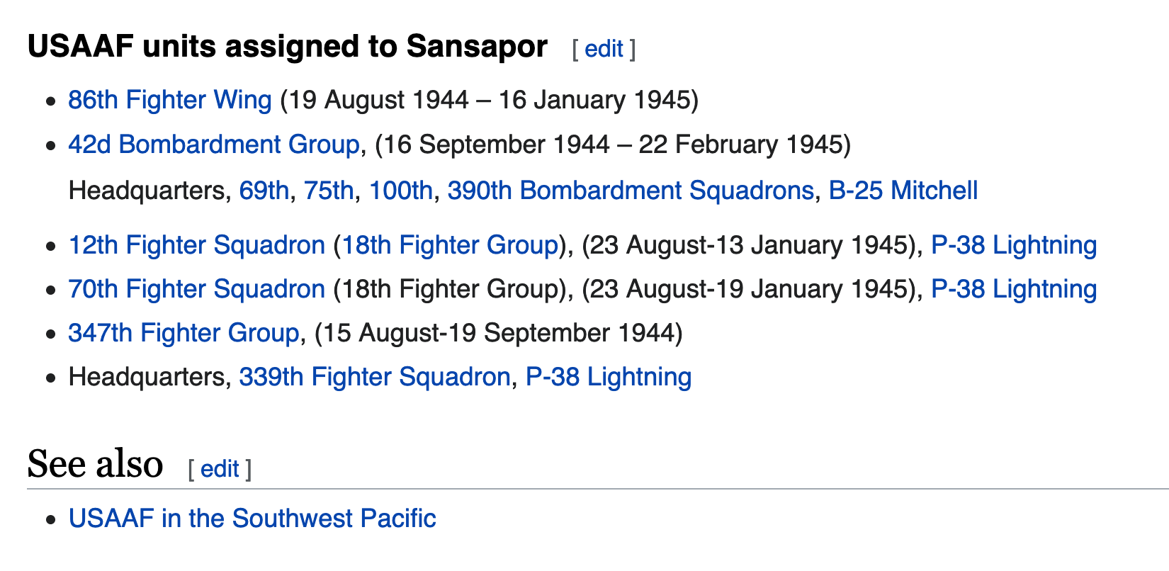
A military historian might then look at units assigned here, just to get a sense of the level of activity. Militaries are the ultimate Anthropocene organizations! Studying them is like studying industrial tree plantations or oil and gas pipeline projects. They have what’s called an “Order of Battle” that is a tree-like structure of their organization, and at the larger “trunk” levels, each unit has historians collecting photographs, writing up reports, etc. So they can be useful windows into stuff like SPECIES, esp. fish and trees, in 1944. Here I find a LOT of units:
So, now I want to check out military history records for more descriptive information. The Center for Military History and Defense Technical Information Center (dtic.mil, we love acronyms!) contain MANY useful histories of these units and military air reconnaisance, for ex. Piercing the Fog:
Chapter 5 is an account of that “southwest pacific” area, 1942-45, so worth a read. I’m only familiar with the Ch 6 accounts given that the B29’s were also bombing Vietnam in 1944. Also cool, “Japanese air intelligence.”
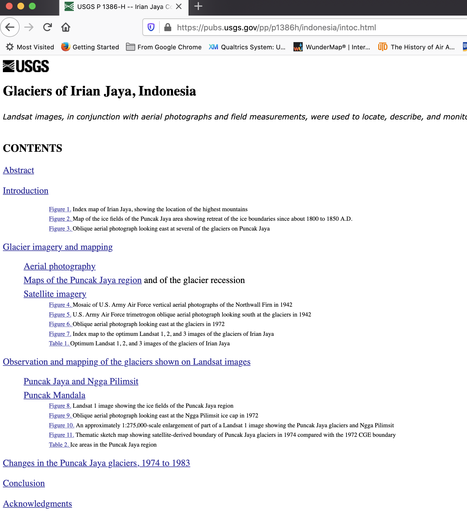
I took a side detour and was curious to find more recent USGS-related mapping, using space photography to study retreating Papuan glaciers. Not related to Waigeo, but fun and it draws on those 1942-45 AAF photos.
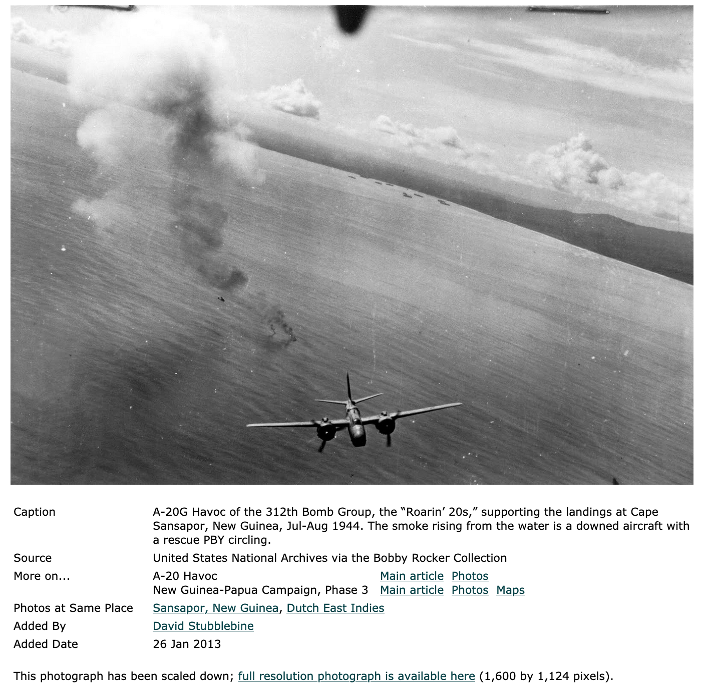
One pic from loc.gov searching turned up this view of Sansapor, too:
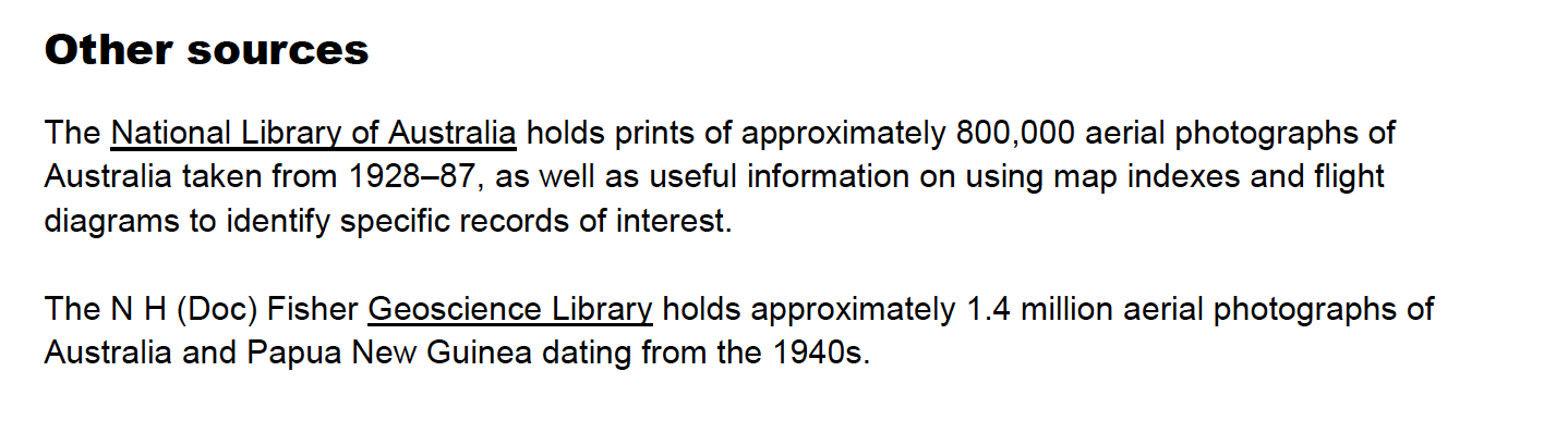
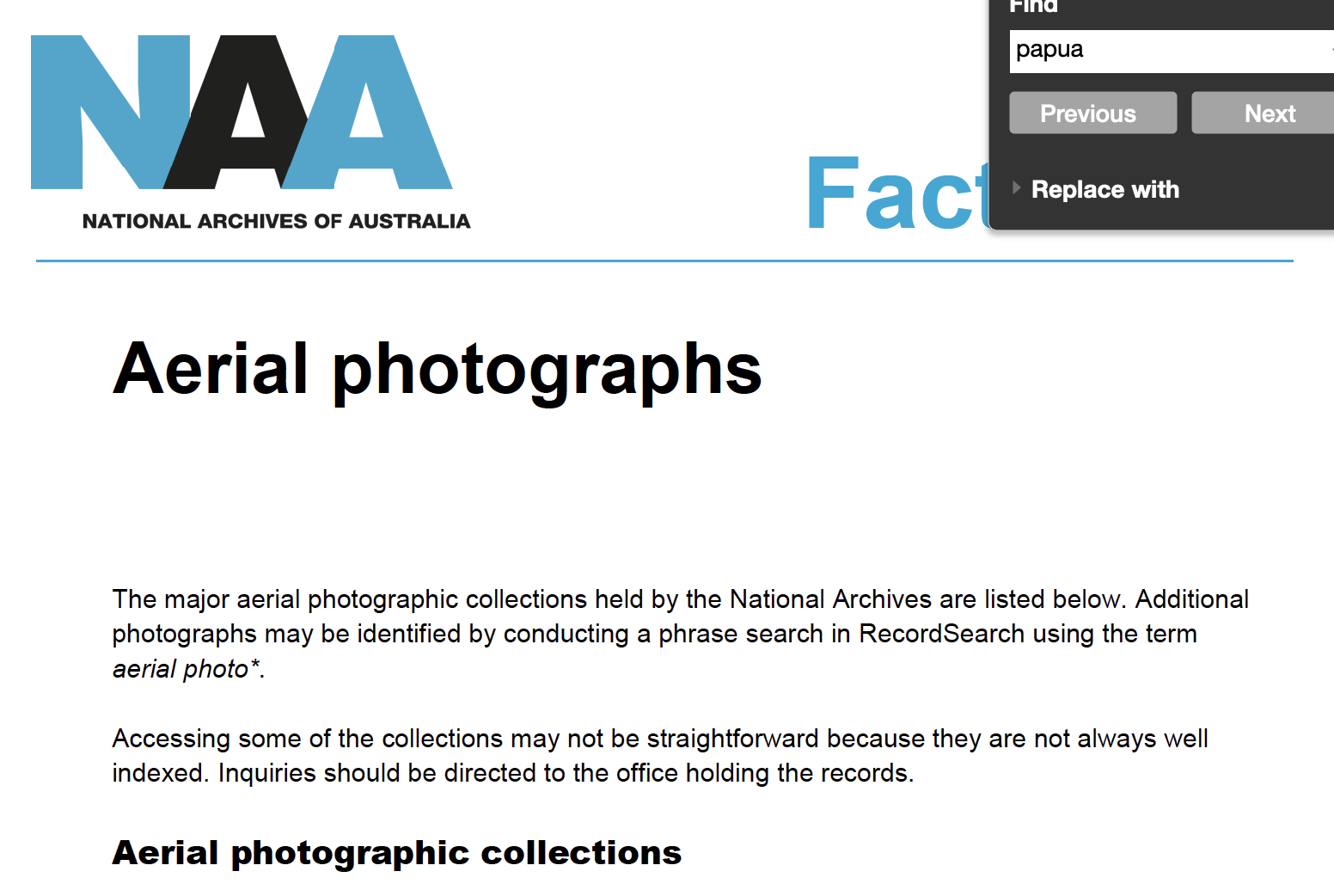
And besides Japan and the US, Aussies were snapping pictures of Papua from the air, but I guess the eastern (British) side:
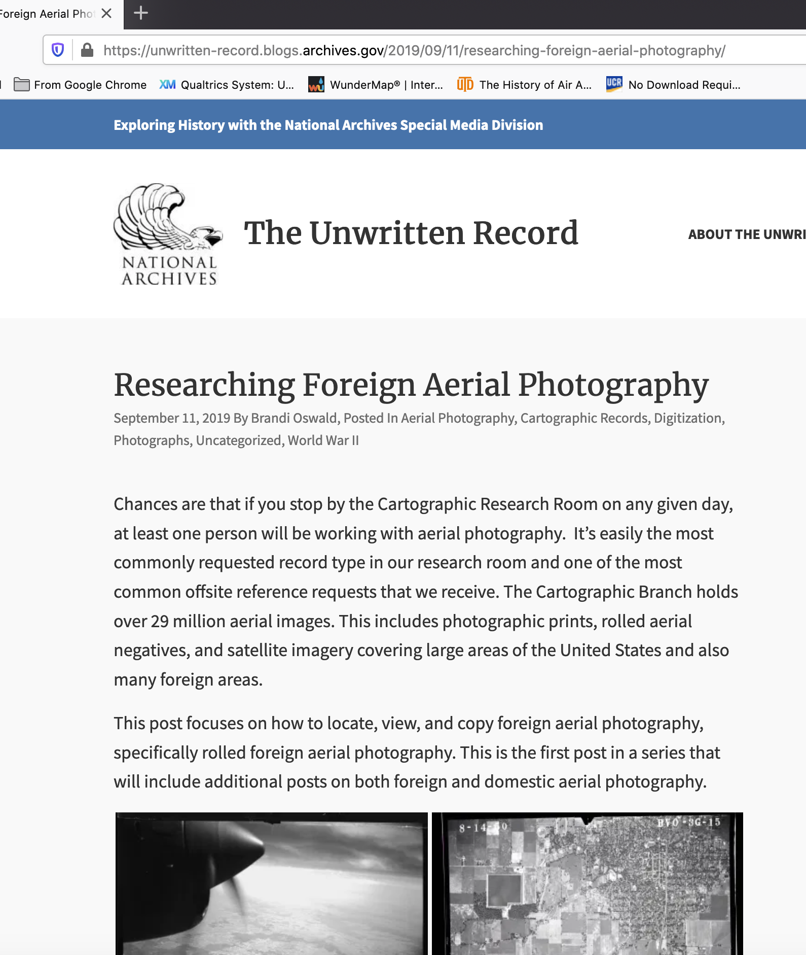
Moving on to the US National Archives, they have really upgraded their digital offerings. Nice explanations on their “Unwritten Record” blog about their photographic collections, esp. foreign imagery collections that MIGHT include captured Japanese materials post surrender in 1945:
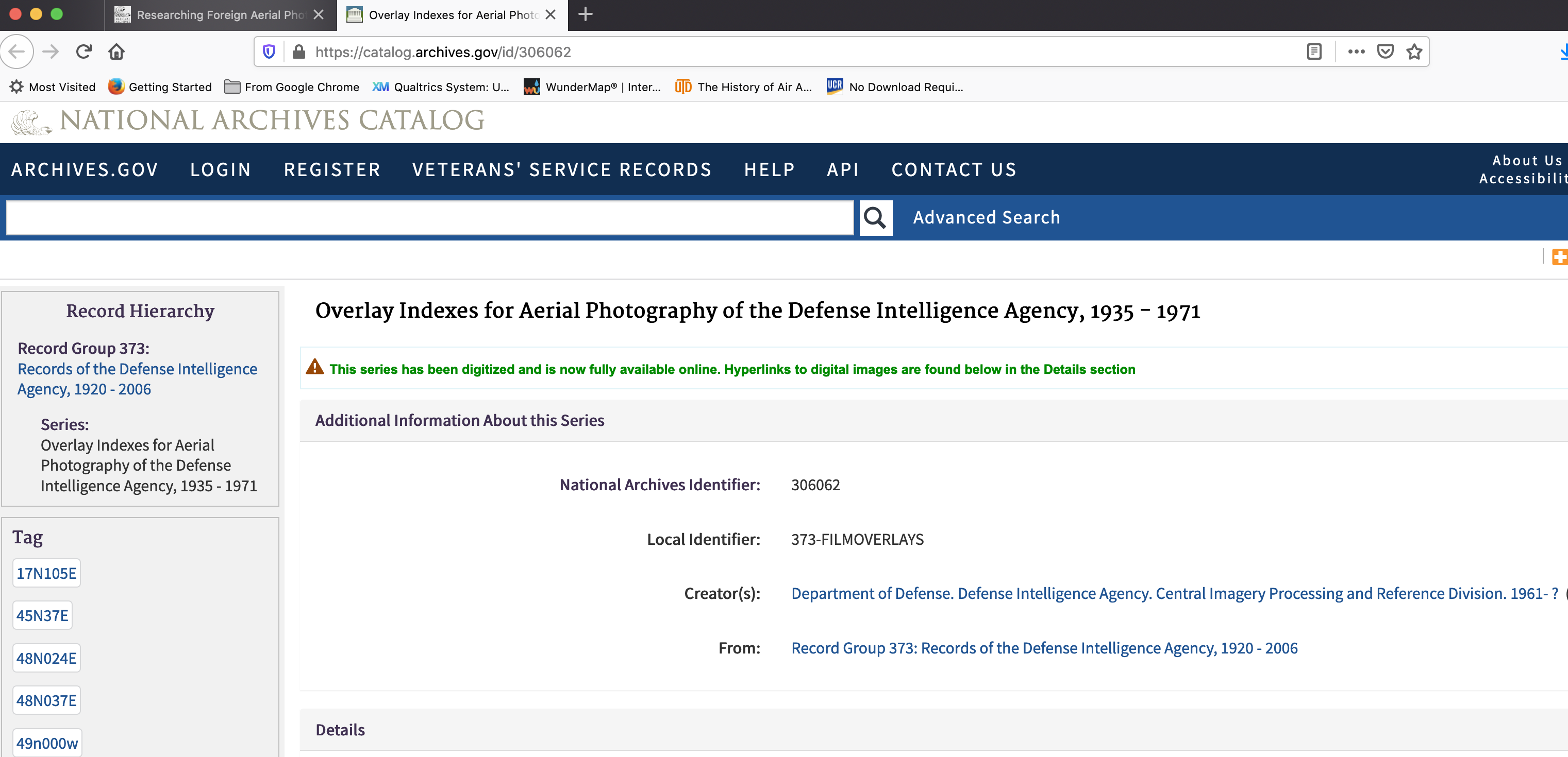
Now for diving into this record group – 373 – Defense Intelligence Agency. That’s the place to call up specific photo series for Army Air Force over Papua. We need to know overlay indexes and 1-degree-square and the NW corner to get to the right place.
At first, I wasn’t sure if it was NW or SW corner, so here:
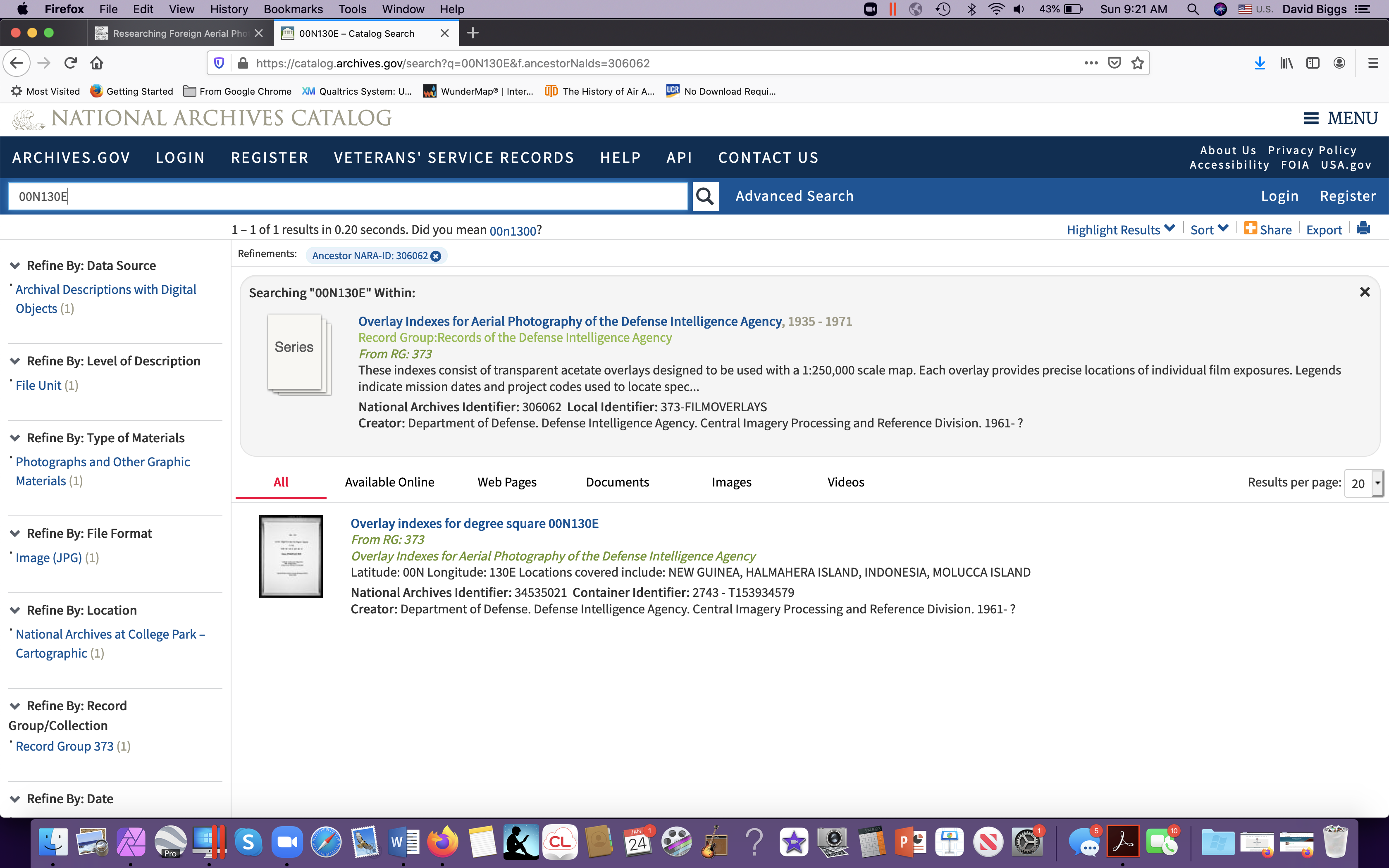
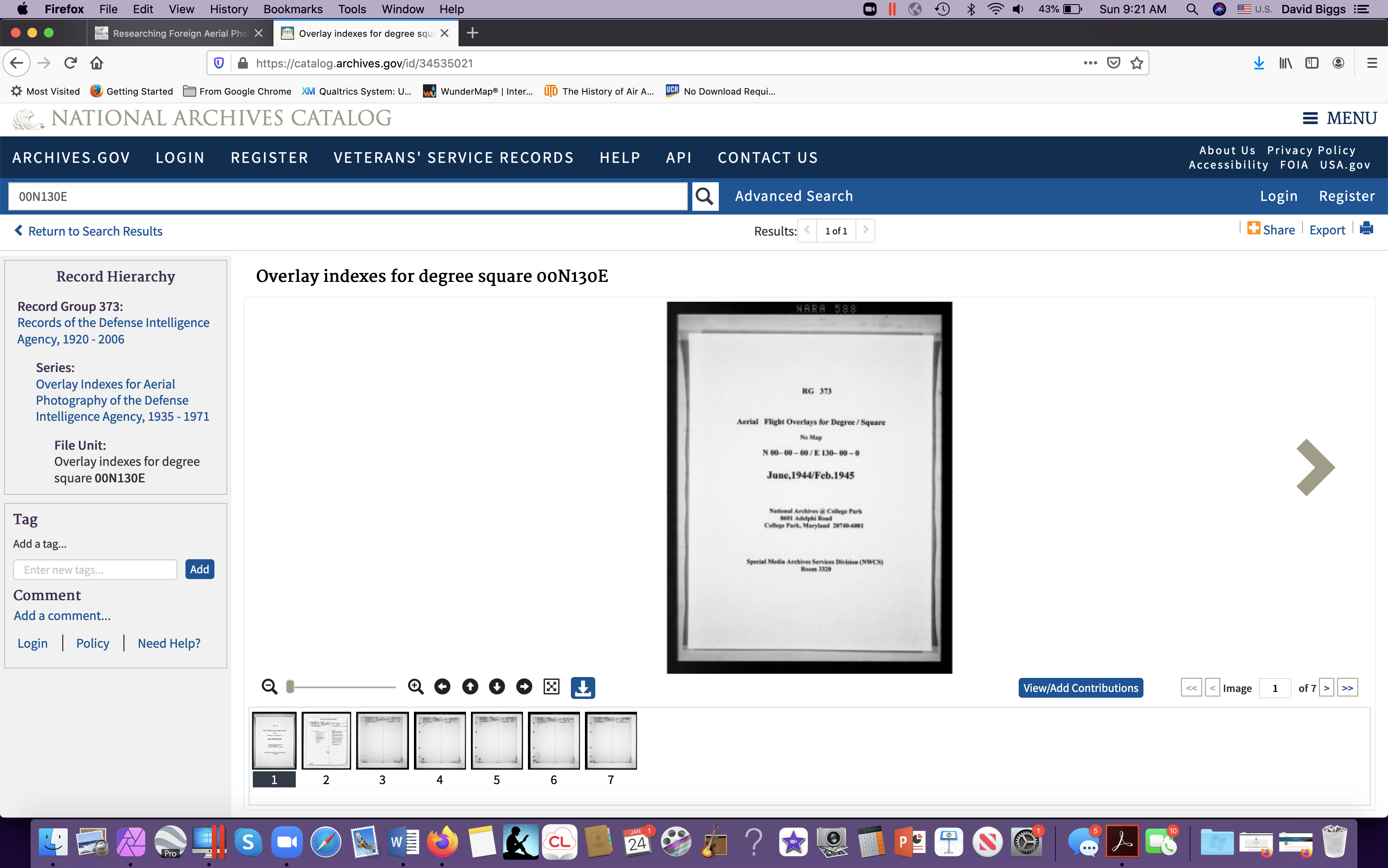
Clicking on the overlay index, nope, too far north.
The first page for each index should be a 1-degree MAP, but this degree square lacks one, and I think I got the system wrong, so trying 00S130E (south of the equator), I get Waigeo:
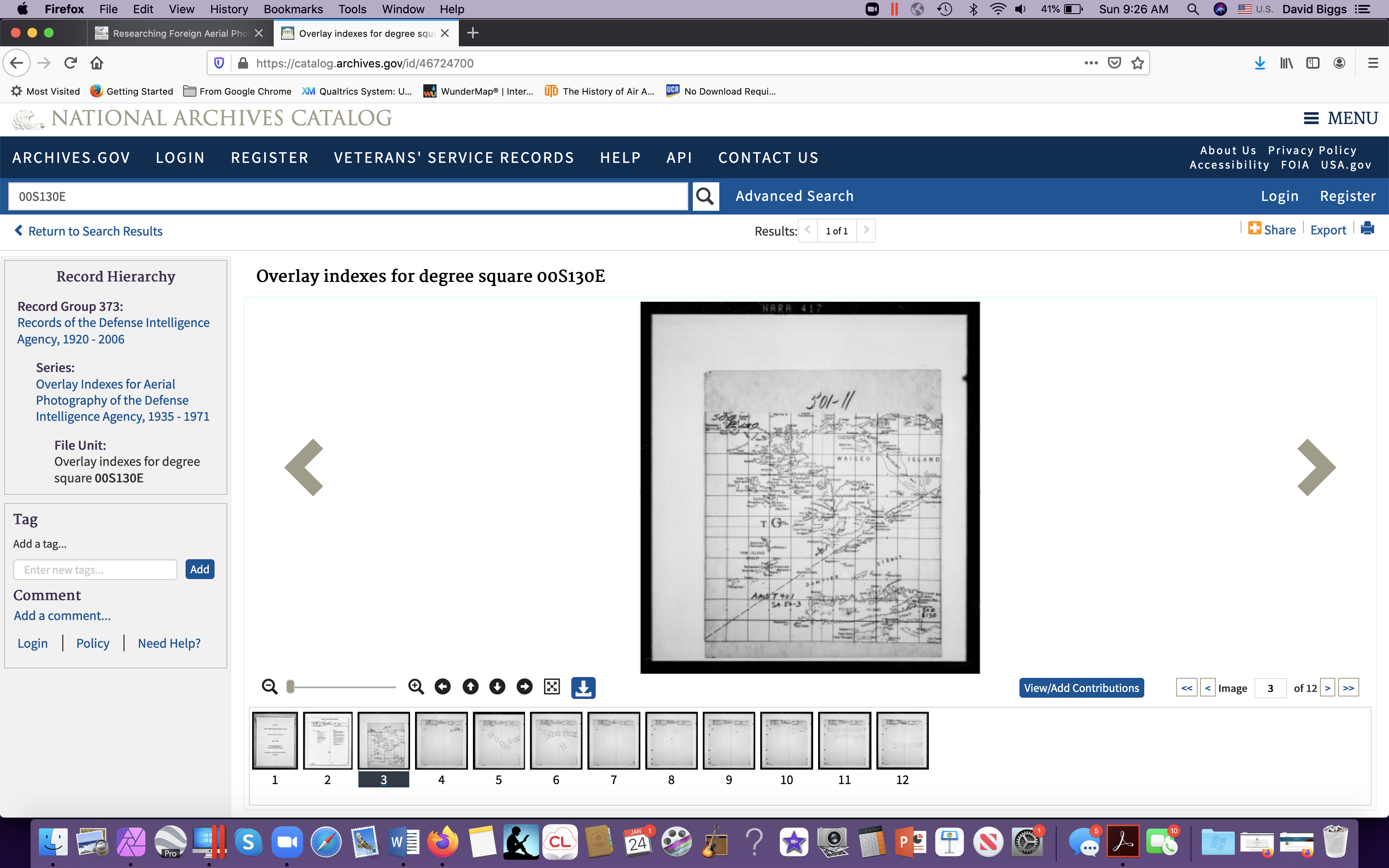
Bingo! There’s Waigeo! So now the trick is to figure out if the American military ordered up any pictures on the island. To use it in this digital form, it helps to put a sticky on the screen of the area of interest, say a village on that inlet, and then scroll through each one. Sounds complicated, but when you try it you quickly get the hang of it.
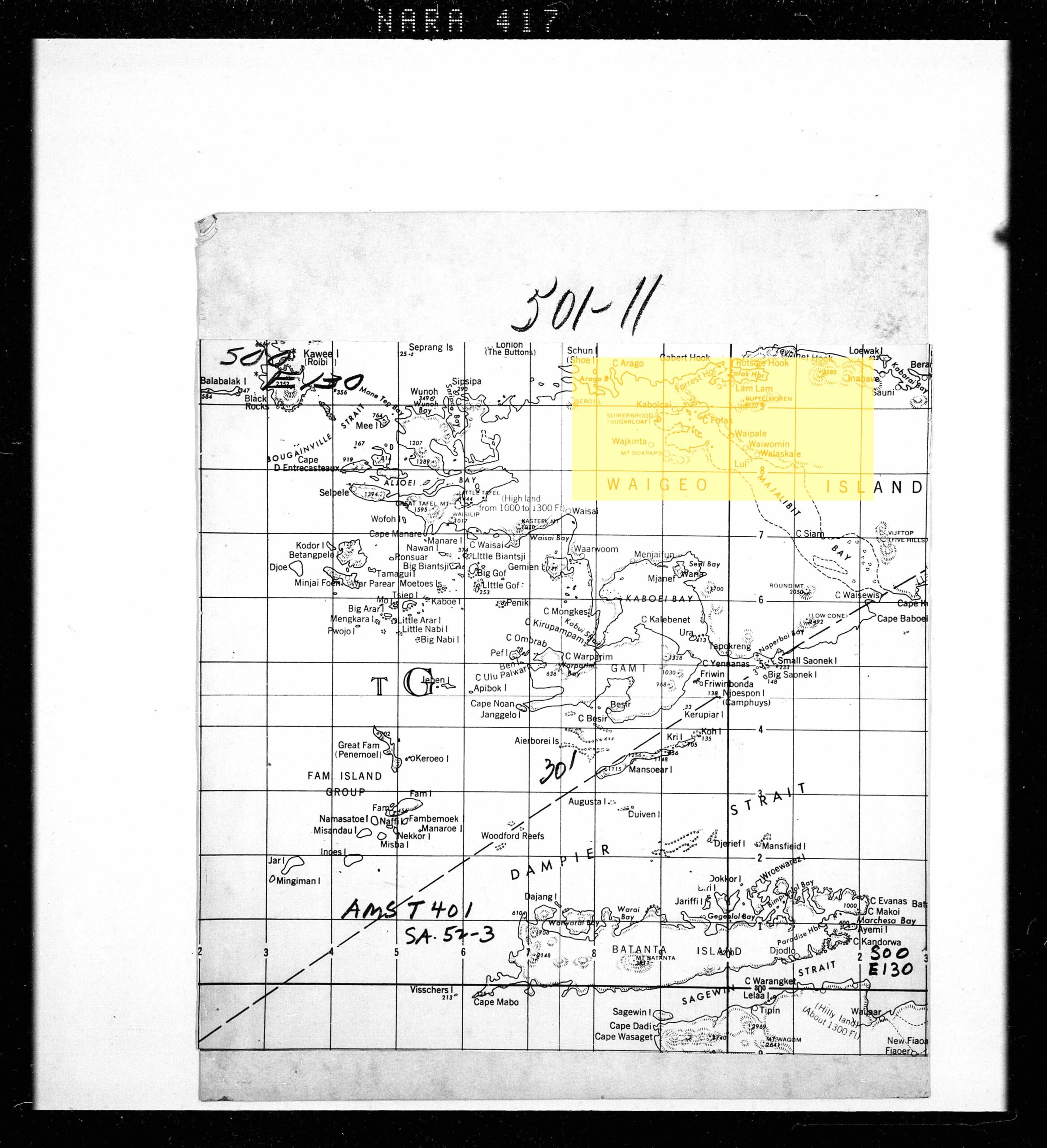
Here’s the index map for 00S130E (south of the equator and 130 degrees east of Greenwich). I’ve highlighted a rectangle (imagine pasting a sticky on your computer screen).
Here’s the index map with “sticky”:
Now here’s a page of an air photo reconnaissance mission, clicking the next frame but keeping my sticky:
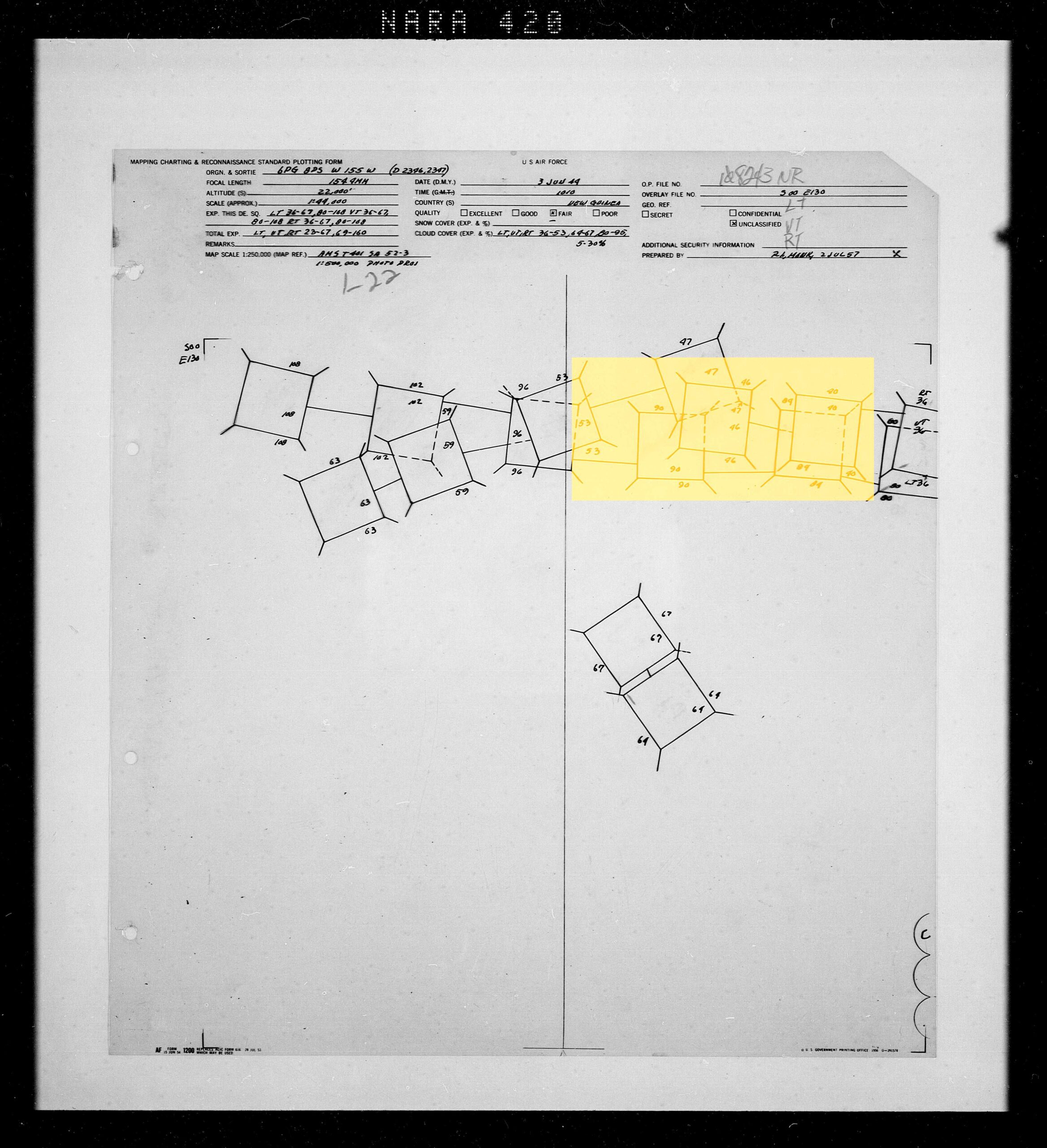
This tells me I have a HIT! Probably 25 photographs shot over my study site. We struck gold! However, look at the rest of the island, mostly empty. So it really is hit or miss whether you can find historic imagery completely covering a large study site. Let’s look at the collar info for some more details – if we were requesting this can of photo-negative film, we’d need it the OP(eration) Number.
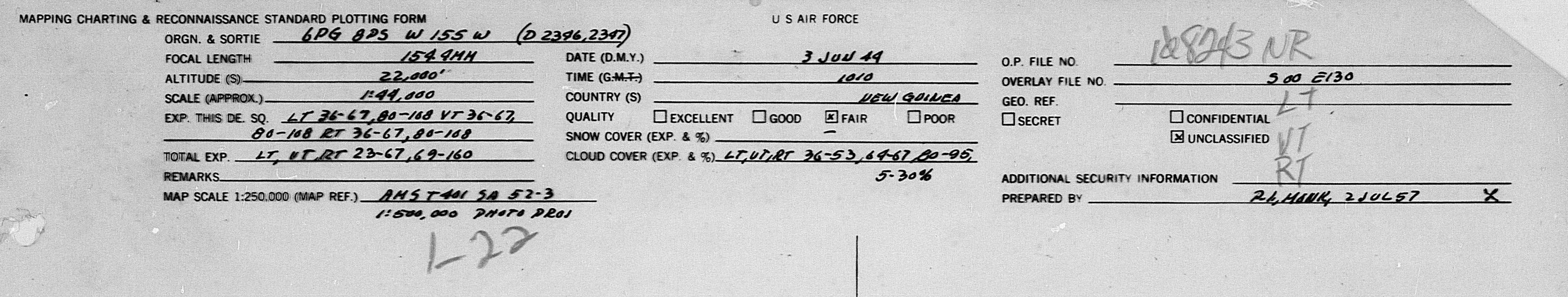
Besices giving an OP number, penciled in later, the info here tells us that the view was partly cloudy, so beware. Also the date and some other info. Upon requesting the film you may find other issues, too, like the can cannot be found. And upon request, readers have to wait several days for the can to be physically retrieved from a salt mine near St. Louis, flown on a daily flight to Ft. Meade (NSA) and then driven to College Park and the NARA reading room. (For a brief overview of this amazing process, see my piece here.)
Also interesting (to me) is that this index was created in 1957, supporting a global mapping effort during the Cold War.
From here, the search for imagery requires physically going to NARA in College Park and requesting rolls of film (or hiring a very expensive research contractor).
Besides imagery, of course there are historic maps that can also be very useful especially for all of the details mapmakers inscribe as they convert air photographs into simplified information.
US military maps, too, can be very informative! One possible source for historic maps of your study area is the Perry Casteñeda collection at University of Texas. Here’s the index page for Indonesia:
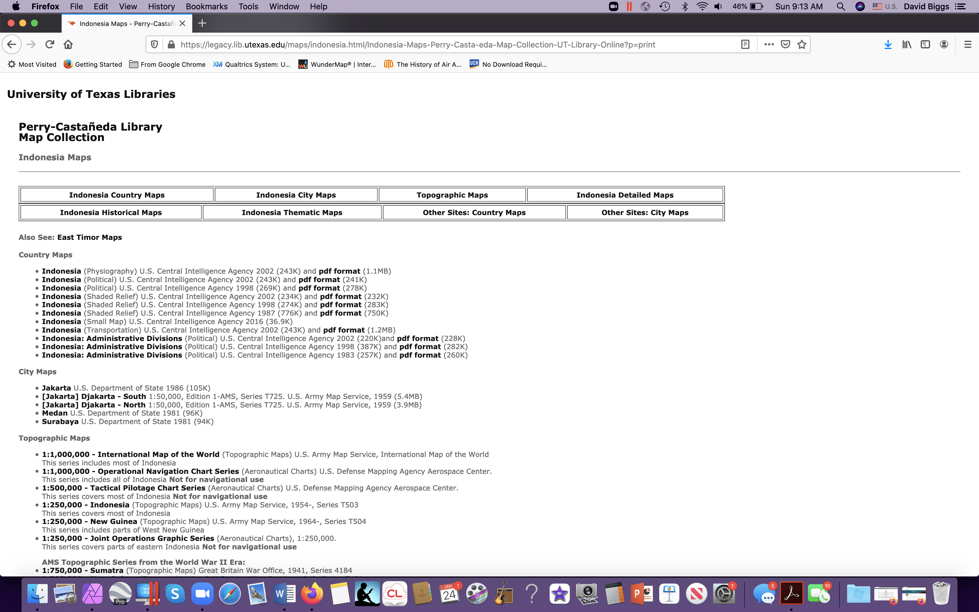
With map-research, I think it is always best to start with smaller scale maps, 1:250-000 for ex:

Then, select the one, and if you are uncertain, “Click here for Index Map”. And you get a page like this:
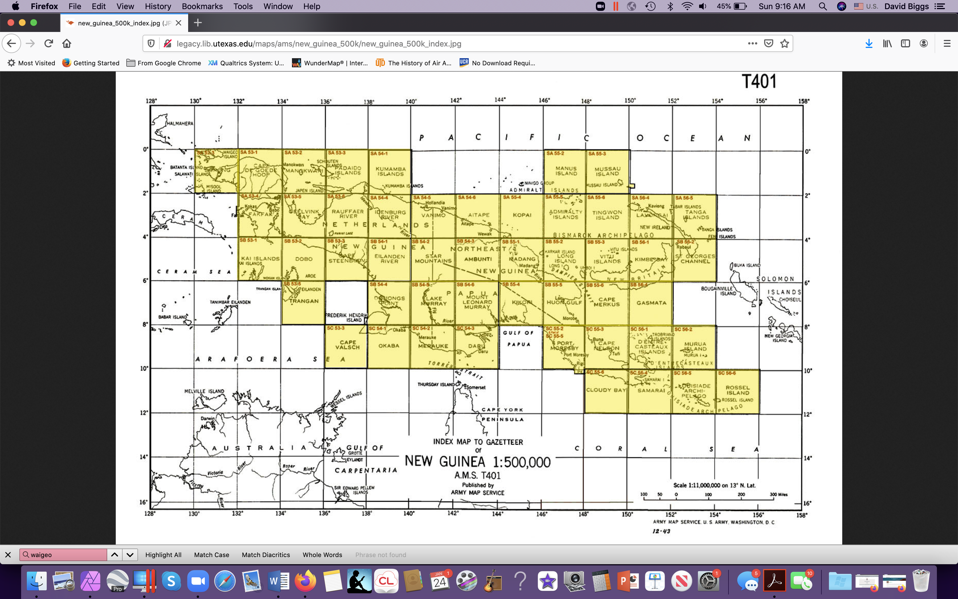
From there, we can find Waigeo up in the northwest corner. And highlighted grid squares mean they exist in this collection.
Isn’t it a beaut! No topography for Waigeo, but TOPONYMS!!!
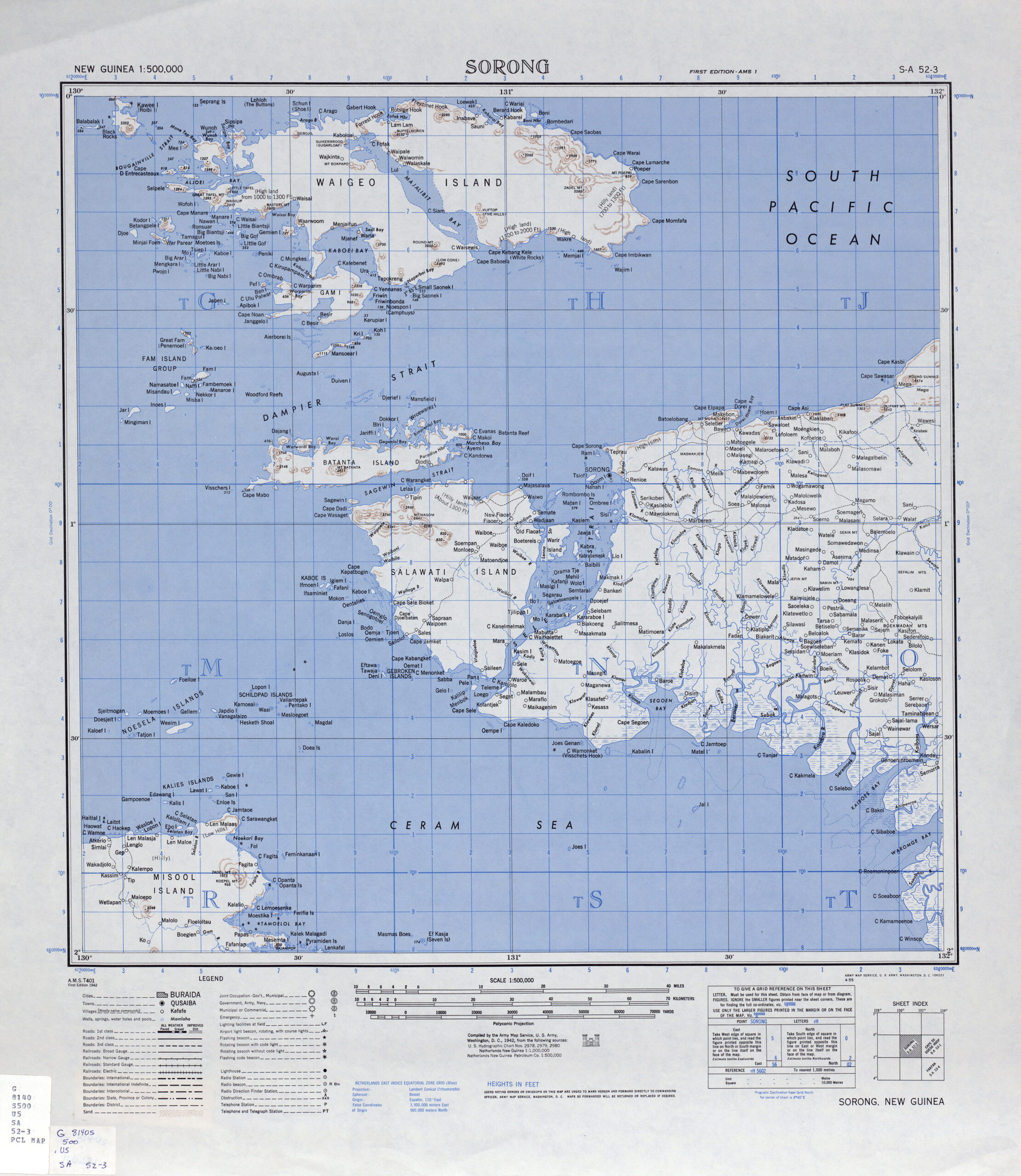
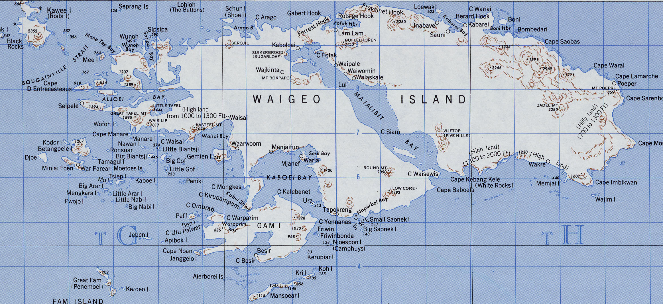
Here’s Waigeo:
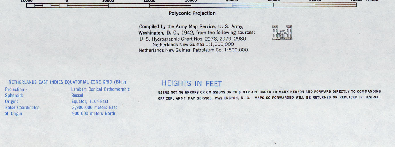
And always read the collars! For map nerds, it’s mildly interesting that the map is based on a polyconic projection. Works better for equatorial locations. But the real info is what sources the mapmakers used.
I haven’t really scratched the surface of Dutch cartography, but I am fairly certain Dutch archives, museums and libraries have made their historical collections of places like West Papua fairly EASY to search.
I hope this tutorial can help you get started in researching imagery for your site!